


Geo-mapping to help identify & account for Zim resources
GOVERNMENT is targeting to increase economic growth through employing science based solutions using the Zimbabwe National Geospatial and Space Agency, a Cabinet Minister said.
Higher and Tertiary Education, Science, Innovation and Technology Development Minister Professor Amon Murwira said through national geo-mapping the country will be able to identify and account for its resources.
Prof Murwira said Government has established the National Biotechnology Authority whose mandate is studying genetics for improved yields.
He said this in the National Assembly last Wednesday during the Question and Answer session while answering questions posed by legislators.
Lawmakers wanted to know how the Zimbabwe National Geospatial and Space Agency was relevant to the country’s development agenda.
Prof Murwira said President Mnangagwa launched the National Geospatial and Space Agency in 2018 as a measure to ensure the country understand its resources and infrastructure.
“Now Zimbabwe within two or three months will be able to understand itself in any area that it wants to understand-whether its wetlands, rivers, crops that we grow or transport infrastructure. We believe that the Zimbabwe National Geospatial and Space is part of the configuration for giving the nation the capability that it needs to reach vision 2030,” said Prof Murwira.
He said Government through science-based solutions is projecting to increase agriculture output through the use of genetics.
“When it comes to the issue of bio-technology, as you know this world is based on what we call the cyclic economy.
This means that everything depends on the understanding of biological material. This biological material is recycled and moved from place to place and we call this bio-economy; the economy that depends on the understanding of life itself and genetics,” he said.
“To this end, we have started the National Biotechnology Authority and in that authority, we are spearheading the issue of Zimbabwe’s bio-economy starting from simple issues such as beneficiation of our fruits as a simple example, we have started working on issues such as marula and producing marula juice and related things from our natural heritage, our biology heritage and we are doing much more research, for example tissue culture trying to improve the yields of our potatoes, maize and so forth.”
Prof Murwira added: “We are working on programmes which will enable this country to produce potatoes and raise the yields from 5 tonnes per hectare to say 120 tonnes within the next year or so.”
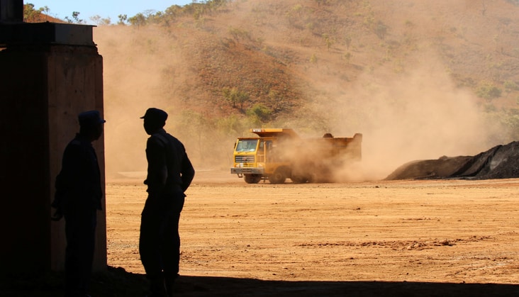
He said Government was using National Geospatial mapping in mining to map the location of the country’s underground resources.
Prof Murwira said Government was also using National Geospatial mapping in land surveying and the project was drawing towards conclusion.
“We call this project Geo 99 and this project is in progress. We believe that by employing these technologies, we are able to do things that used to be done in three months, maybe in two days. So far, with this programme, we have employed it to farming cadastre.
It is at 60 percent completion. We had scanned all land diagrams in this country and we are in the movement of completing this programme. We believe in future there will be no one who will be swimming in a pile of papers trying to get a diagram. It would be through a click of a button,” said Prof Murwira. — -chronicle.clzw